
MLST-maps
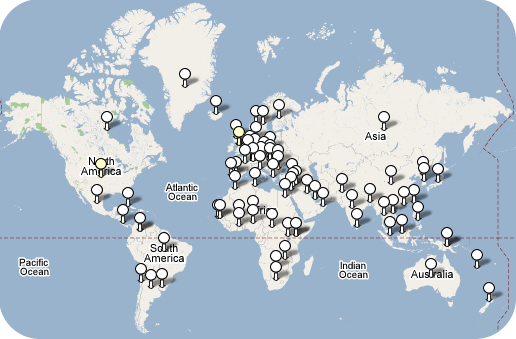
MLST-maps uses Google Maps or Google Earth to display the numbers of isolates of each sequence type (ST) within the MLST databases that have been recovered from each country, displays the details of these isolates and shows in which other countries individual STs have been found. It also allows users to display the isolates from each country using eBURST or to compare these to those in the entire MLST database.
Developed by David Aanensen in the laboratory of Brian G Spratt.